Corsi disponibili

Background 

The ENVRI Community International Winter School 2021 'ENVRI-FAIR Resources: Access & Discoverability' focuses on Data FAIRness focuses and covers semantic navigation, Jupyter environments for visualisation and data discovery, resource access tools and cloud computing. Aiming at supporting end users to make the best use of the data, the School establishes the end user perspective as a crucial element to develop good user interfaces and services to interact with data.


Learning Objectives

It is expected that, by the end of the course, participants will be better positioned to:

1. Discuss basic concepts of semantics presenting how they can enrich data resources, enhance FAIRness and foster discoverability of data resources

2. Examine the full life cycle of an 'on demand' model run and results visualization for the creation of a new data product.

3. Illustrate how resources (datasets, services, workflows) can be created, published and accessed on a metadata catalogue (LifeWatch ERIC Metadata Catalogue).

4. Demonstrate the basic steps to run a legacy application in cloud, develop native cloud applications, automate application deployment and auto-scale a runtime application.


Content and Structure

Training Sessions:

1. Semantics

2. VREs, Data analysis and Visualization

3. Resource Access Tools

4. Cloud computing for developing and operating data management services 


Target Audience

The resource is aimed at data centres staff, RIs representatives, IT experts and individuals interested in data access and discoverability.
Background 

In recent years, one of the major challenges in the Environmental and Earth Science has been managing and searching larger volumes of complex data, collected across multiple disciplines. Many different standards, technologies and common practices have been developed to support each phase of the Data Lifecycle. This course focuses on the creation and reuse of FAIR data and services in the Environmental and Earth sciences.


Learning Objectives

It is expected that, by the end of the course, participants will be better positioned to:

1. Discuss basic concepts of semantics presenting how they can enrich data resources, enhance FAIRness and foster discoverability of data resources

2. Examine the full life cycle of an 'on demand' model run and results visualization for the creation of a new data product.

3. Illustrate how resources (datasets, services, workflows) can be created, published and accessed on a metadata catalogue (LifeWatch ERIC Metadata Catalogue).

4. Demonstrate the basic steps to run a legacy application in cloud, develop native cloud applications, automate application deployment and auto-scale a runtime application.


Content and Structure

Training Sessions:

1. Semantics

2. VREs, Data analysis and Visualization

3. Resource Access Tools

4. Cloud computing for developing and operating data management services 


Target Audience

The resource is aimed at data centres staff, RIs representatives, IT experts and individuals interested in data access and discoverability.
SCUOLA PRIMARIA

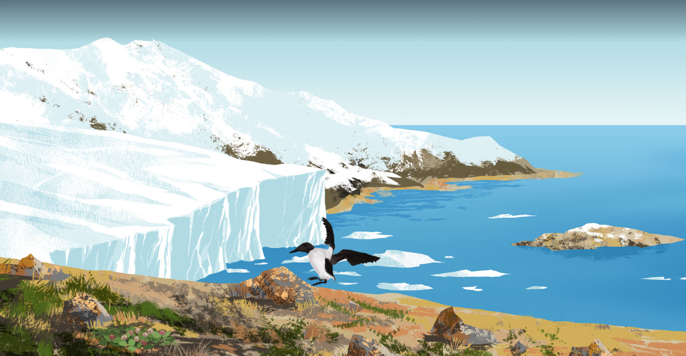
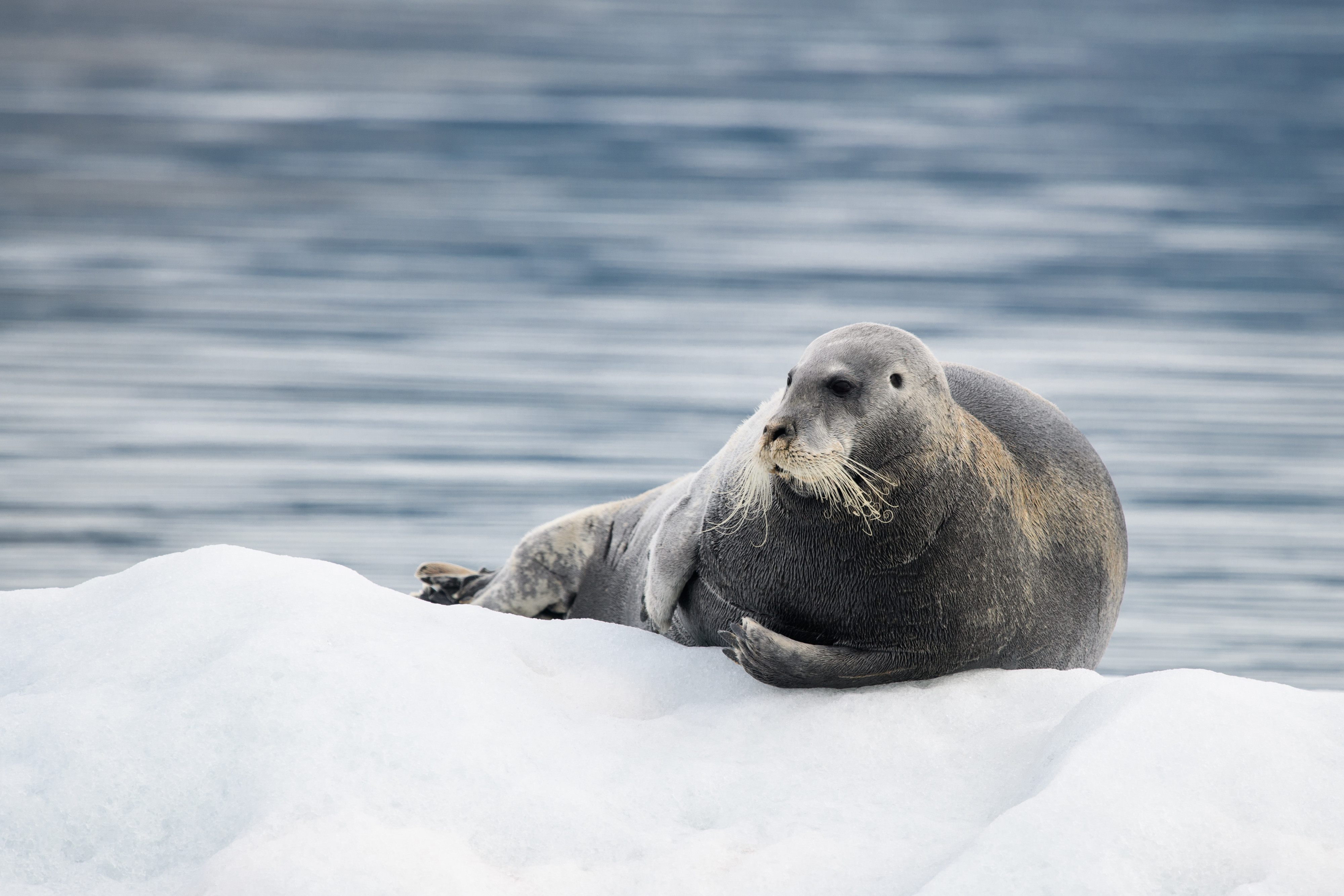
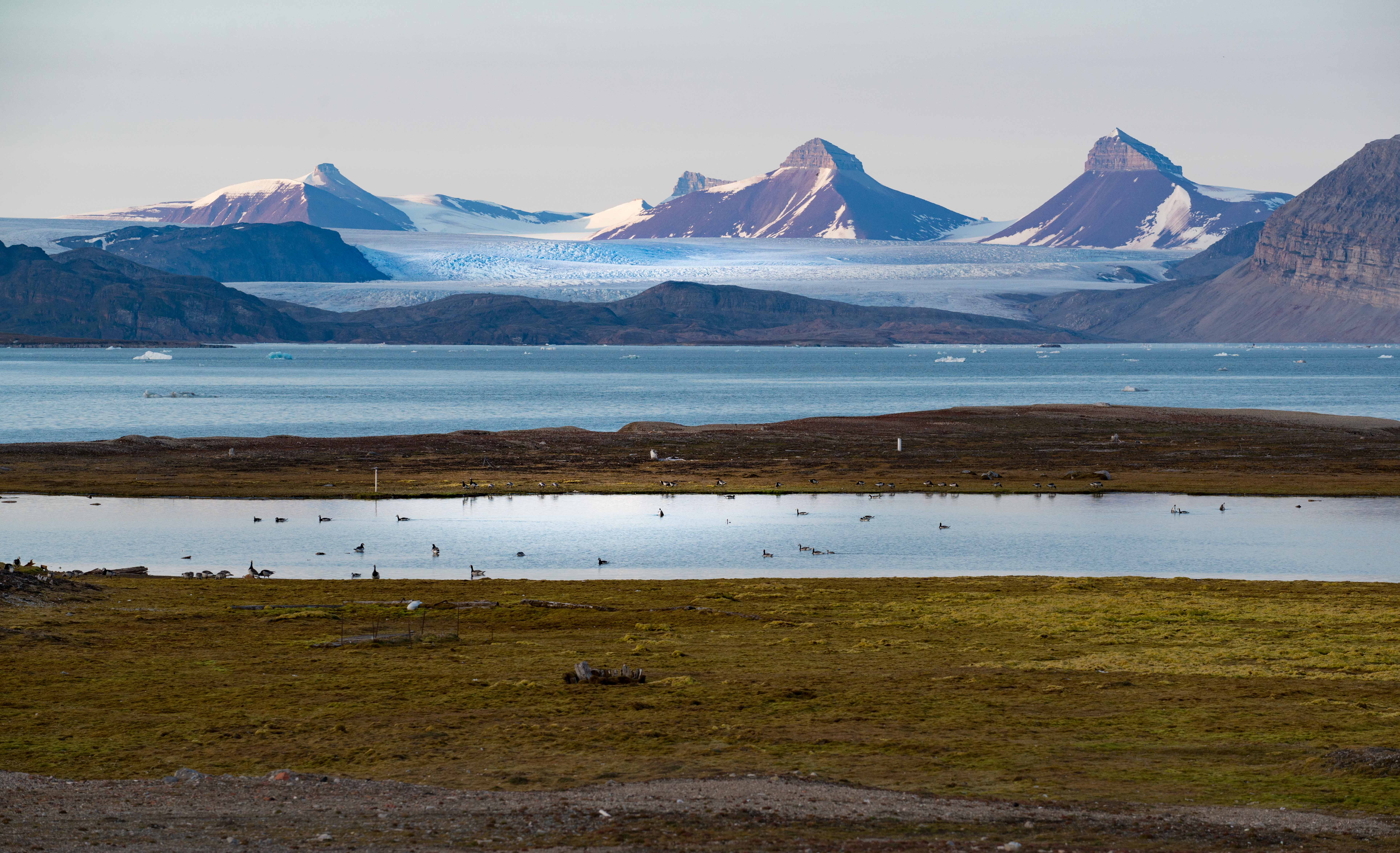
La tematica è un approfondimento sull’Artico, una regione che circonda il Polo Nord fatta di terre, mari e ghiacciai sia terrestri che marini. L'Artico, pur essendo ricoperto da ghiacciai, ospita una varietà di organismi adattati a vivere in questo habitat. Testi a cura di Cecilia Noce - Istituto di Geoscienze e Georisorse CNR. 

CLICCA SUL TITOLO PER VISUALIZZARE I CONTENUTI.

SCUOLA SECONDARIA DI PRIMO GRADO

La tematica è un approfondimento sull’Artico, una regione che circonda il Polo Nord fatta di terre, mari e ghiacciai sia terrestri che marini. L'Artico, pur essendo ricoperto da ghiacciai, ospita una varietà di organismi adattati a vivere in questo habitat. Testi a cura di Cecilia Noce - Istituto di Geoscienze e Georisorse CNR. 

CLICCA SUL TITOLO PER VISUALIZZARE I CONTENUTI.

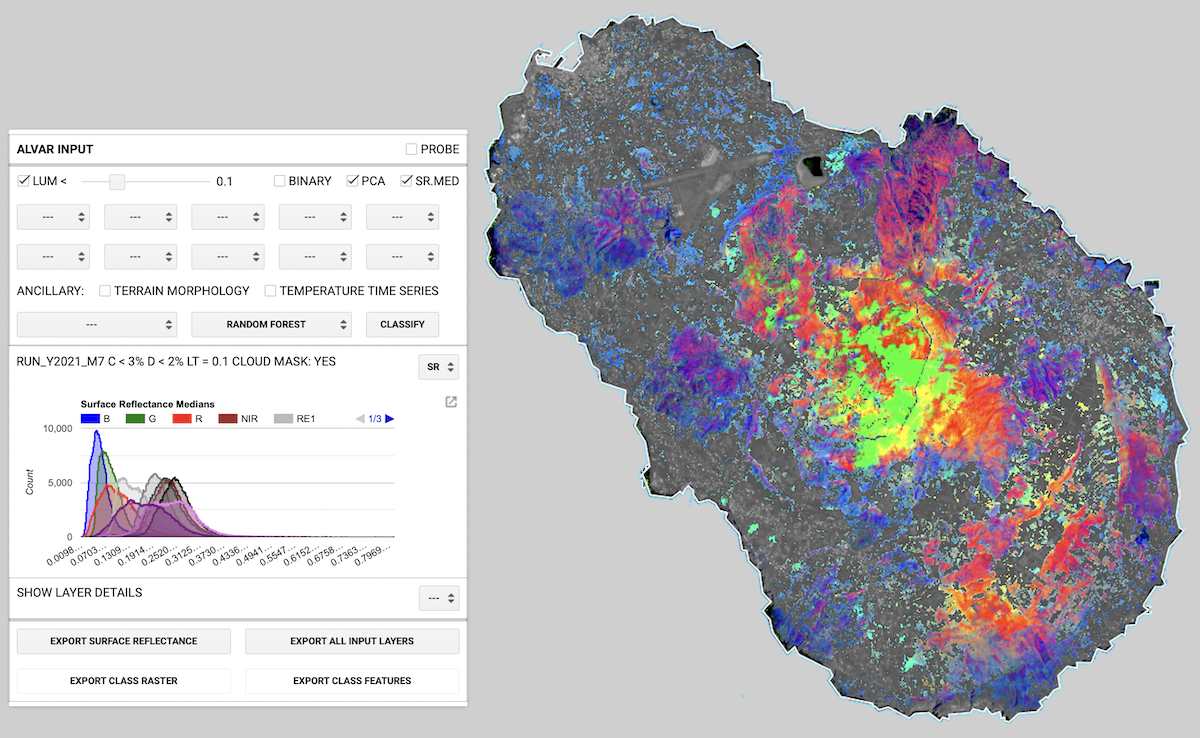
Alvar is a Google Earth Engine cloud application for early reconnaissance of Ailanthus altissima. Alvar is based on Copernicus Sentinel-2 optical imagery at 10m ground pixel resolution. The service rationale is that each plant species shows peculiar signals in the optical range and, possibly, time-series signatures. Hence, recognising the invasive alien species A. altissima is in principle feasible, given a characteristic optical spatiotemporal signature. However, even if we can have physiological clues, we do not know such a signature. Alvar supports the search and reconnaissance of A. altissima optical signature exploiting the cloud computing capability of fast time series search of the images and the vegetation-related associated optical indices, without the need for local data download. Alvar exploits the machine learning algorithms exposed by the Google Earth Engine APIs and trains them by means of a user-provided training/control set of empirical observations. The user interface is GUI-based and the intervention on the code consists only in importing the appropriate training set and tuning the area of interest bounding box accordingly.

SCUOLA SECONDARIA DI SECONDO GRADO

La tematica è un approfondimento sull’Artico, una regione che circonda il Polo Nord fatta di terre, mari e ghiacciai sia terrestri che marini. L'Artico, pur essendo ricoperto da ghiacciai, ospita una varietà di organismi adattati a vivere in questo habitat. Testi a cura di Cecilia Noce - Istituto di Geoscienze e Georisorse CNR. 

CLICCA SUL TITOLO PER VISUALIZZARE I CONTENUTI.

SCUOLA PRIMARIA

La tematica è una riscrittura creativa della fiaba Pollicino. Essa vuole invitare i più piccoli a riflettere sull'importanza di madre natura, sui tanti comportamenti errati dell'essere umano e sulla possibilità di una convivenza pacifica tra gli esseri umani e gli ecosistemi naturali. 

Realizzata nell'ambito del Laboratorio di Letteratura per l'infanzia - Scienze della Formazione Primaria (Università del Salento) da Agrosì Sandra, Blasi Pamela, Chiffi Luca, De Giorgi Manuela. La tematica include anche una UDA 'Contemplare attraverso la natura e coltivare l'empatia per madre natura' realizzata ispirandosi anche a concetti di Biofilia.

CLICCA SUL TITOLO PER VISUALIZZARE I CONTENUTI.

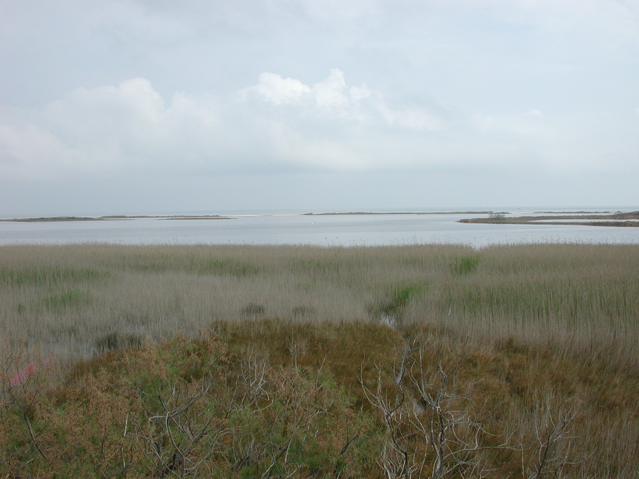
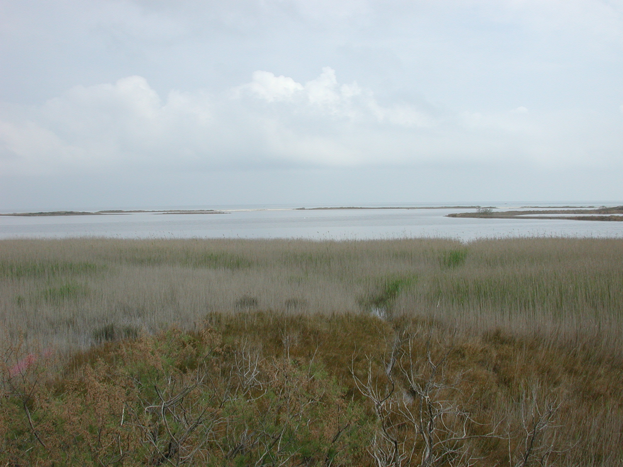
La tematica descrive e approfondisce le wetlands, zone umide come lagune, laghi costieri, stagni.  Sono ecosistemi dalle caratteristiche peculiari e con particolari proprietà molto importanti anche per gli esseri umani. CLICCA SUL TITOLO PER VISUALIZZARE I CONTENUTI.

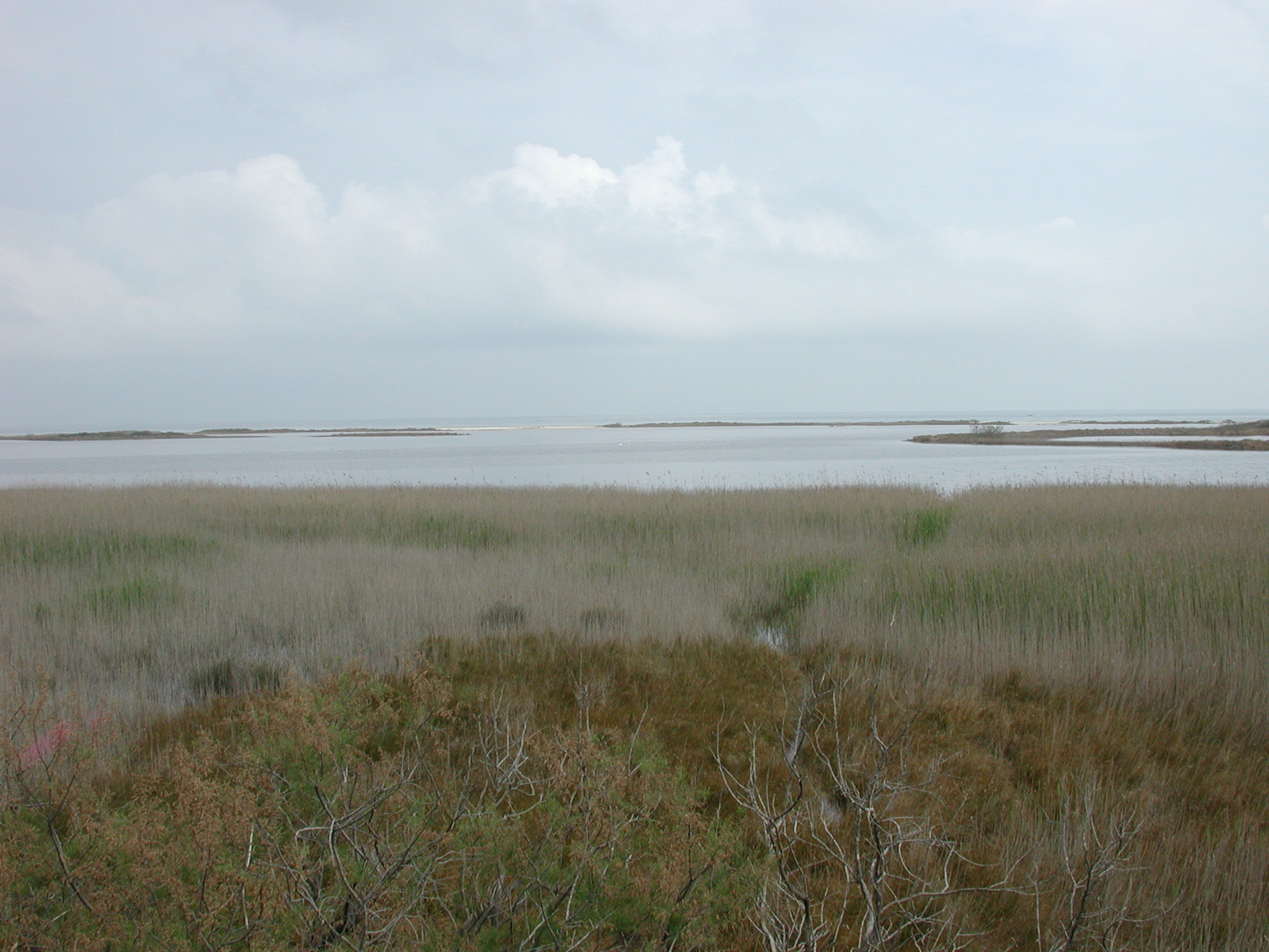
La tematica descrive e approfondisce le wetlands, zone umide come lagune, laghi costieri, stagni.  Sono ecosistemi dalle caratteristiche peculiari e con particolari proprietà molto importanti anche per gli esseri umani. CLICCA SUL TITOLO PER VISUALIZZARE I CONTENUTI.

QUESTA TEMATICA E' RIVOLTA ALLE SCUOLE ITALIANE

PER LA GARA FINALE DI ECOLOGICACUP 2026 NON E' NECESSARIO studiare la sezione ZONE UMIDE IN AZIONE: CASI DI STUDIO SCIENTIFICI Pag. 10


This topic describes and explores wetlands, such as lagoons, coastal lakes, and ponds. These ecosystems have unique characteristics and unique properties that are also important for humans. CLICK ON THE TITLE TO VIEW THE CONTENTS.

THIS TOPIC IS FOR FOR SCHOOLS IN SOUTH AFRICA

FOR THE ECOLOGICACUP 2026 FINAL COMPETITION, IT IS NOT NECESSARY to study the section WETLANDS IN ACTION: SCIENTIFIC CASE STUDIES, Page 9.


Se vuoi scoprire le particolarità di questa adorabile specie e l’importanza delle aree protette, dei santuari e dei parchi per la conservazione della biodiversità, gioca qui. Il Gioco scientifico è stato creato in collaborazione con il Rifugio degli Asinelli Onlus.

Per mettere alla prova le tue abilità nel campo della ricerca scientifica e della biodiversità, gioca qui.

Se sei uno studente della scuola secondaria di secondo grado e sei curioso di scoprire il patrimonio di biodiversità di Castelporziano, esplorando gli ecosistemi e le specie che li abitano e approfondendo gli aspetti legati ai fattori che ne influenzano la distribuzione, questo gioco è quello adatto a te. Il Gioco scientifico è stato creato in collaborazione con la Tenuta Presidenziale di Castelporziano, l'Accademia Nazionale delle Scienze detta dei XL.

Se sei uno studente della scuola secondaria di primo grado e vuoi mettere alla prova le tue conoscenze sulla gestione e la conservazione delle risorse della Tenuta Presidenziale di Castelporziano e sugli strumenti legislativi che esistono a livello europeo per la protezione degli ecosistemi? Gioca qui. Il Gioco scientifico è stato creato in collaborazione con la Tenuta Presidenziale di Castelporziano, l'Accademia Nazionale delle Scienze detta dei XL.

Se sei uno studente della scuola primaria e vuoi esplorare gli ecosistemi tipici di Castelporziano, gioca questo gioco scientifico. Il Gioco scientifico è stato creato in collaborazione con la Tenuta Presidenziale di Castelporziano, l'Accademia Nazionale delle Scienze detta dei XL.

Il viaggio nella Tenuta Presidenziale di Castelporziano inizia qui. Se vuoi esplorare gli aspetti artistici e culturali di Castelporziano, viaggiando nel suo passato e nella sua storia, gioca qui. Questo Gioco scientifico è stato creato in collaborazione con la Tenuta Presidenziale di Castelporziano, l'Accademia Nazionale delle Scienze detta dei XL.

Se vuoi conoscere le caratteristiche generali degli ecosistemi e saperne di più sulla biodiversità, questo è il Gioco Scientifico più adatto a te.

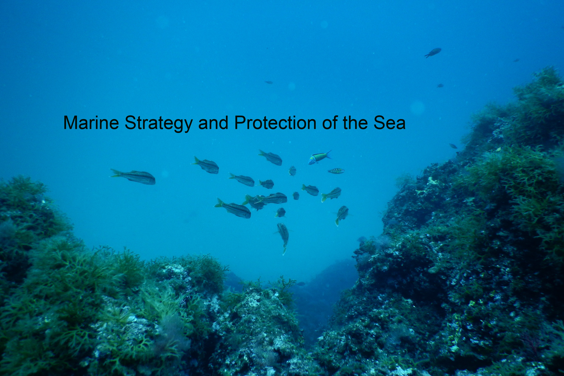
Sei interessato all’impatto sul Mar Mediterraneo e vuoi contribuire alla sua protezione? Mettiti alla prova con questo Gioco Scientifico.

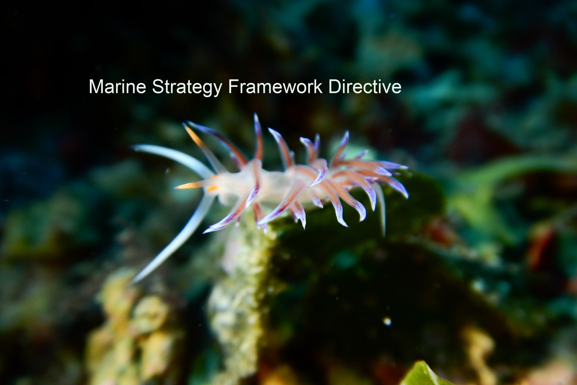
Se vuoi approfondire le tue conoscenze sulla Direttiva europea per la protezione del Mar Mediterraneo, gioca questo Gioco scientifico.

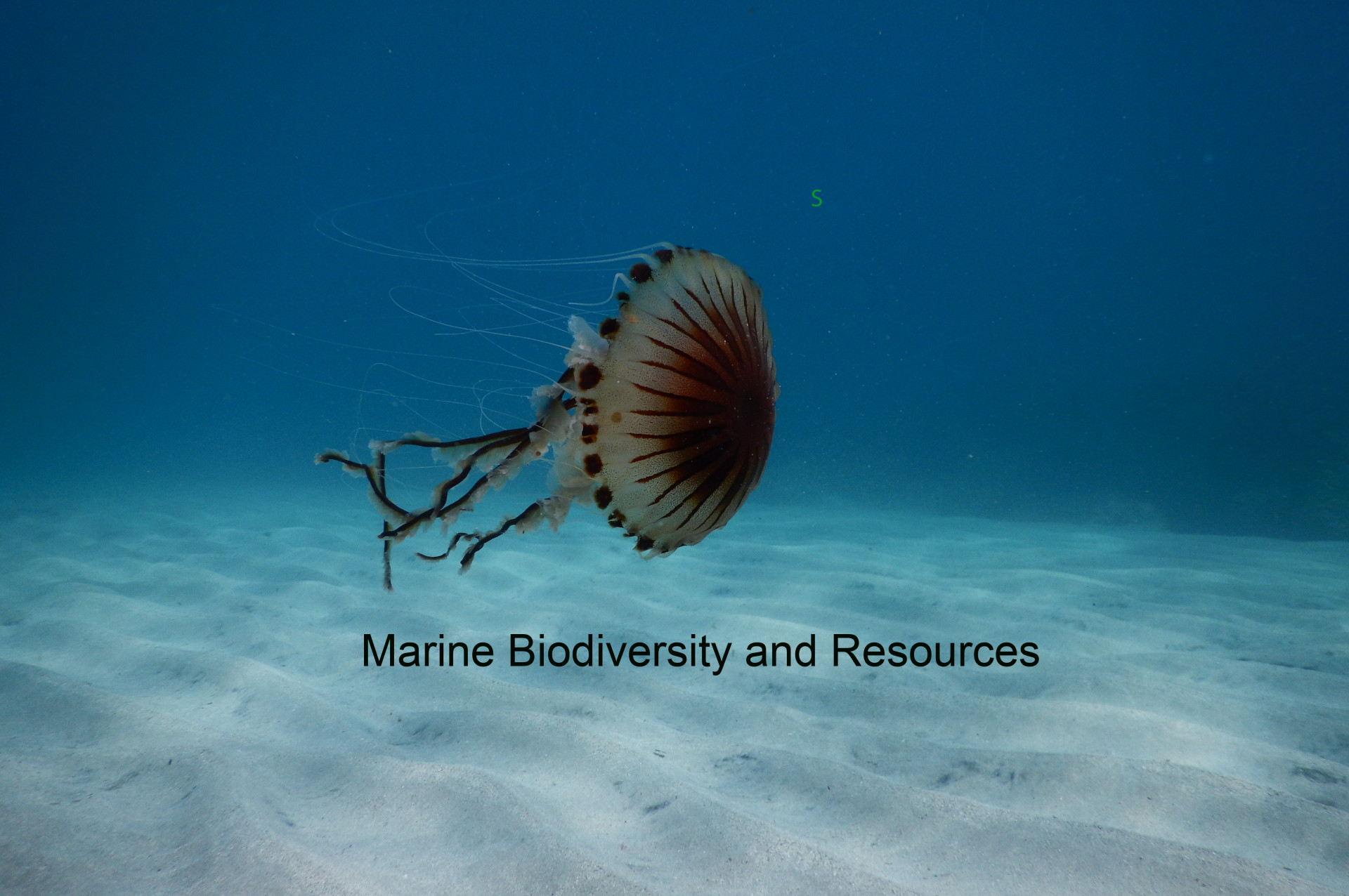
Sei curioso di approfondire la tua conoscenza sulla biodiversità marina e sulle risorse degli ecosistemi marini? Gioca qui.

Se vuoi saperne di più sulle caratteristiche abiotiche e biotiche del mare, gioca qui.

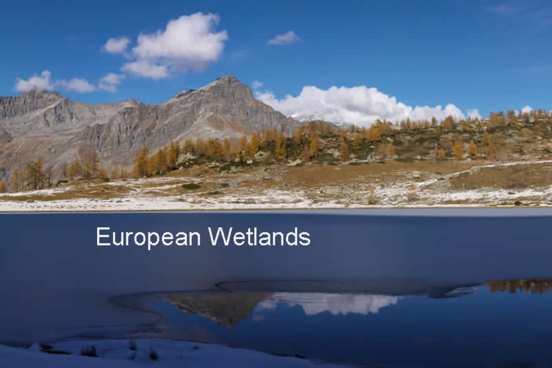
Per mettere alla prova le tue conoscenze sulle principali zone umide europee, la loro geografia ed ecologia, gioca qui.

Per saperne di più sulle Scienze della Terra e sui rischi idrogeologici, gioca questo gioco scientifico.

Se il tuo interesse è rivolto all’affascinante mondo delle infrastrutture informatiche per il supporto alla ricerca avanzata, gioca qui.

Vuoi conoscere come si applica il metodo scientifico? Qui puoi scoprirlo. Research Game è un serious game prodotto nell'ambito di un progetto Comenius (The European Scientific Research Game) che mira a motivare gli studenti delle scuole secondarie attraverso l'esperienza dell'emozione della ricerca scientifica applicata al mondo dell'ecologia e delle scienze naturali. 
MEDREGION Scientific Gaming permette di studiare e applicare il metodo della ricerca scientifica applicata al monitoraggio dello stato ecologico e ambientale degli ecosistemi marini del Mediterraneo in modo divertente attraverso l'uso di un videogioco incentrato sugli strumenti ecologici utili a descrivere lo stato degli ecosistemi marini, come la biodiversità, il rumore dell'acqua, l'eutrofizzazione, le specie aliene e sull'approccio della Direttiva quadro sulla strategia marina. 
MEDCIS Scientific Gaming permette di studiare e applicare il metodo della ricerca scientifica per il monitoraggio dello stato ecologico e ambientale degli ecosistemi marini del Mediterraneo in modo divertente attraverso l'uso di un videogioco incentrato sugli strumenti ecologici utili a descrivere lo stato degli ecosistemi marini, come la biodiversità, il rumore dell'acqua, l'eutrofizzazione, le specie aliene e sull'approccio della Direttiva quadro sulla strategia marina. 

Sei interessato a temi ecologici come la biodiversità e gli ecosistemi, i rischi naturali, l'ambiente informatico, le scienze marine? Il progetto ENVRIplus può rispondere alla tua curiosità. ENVRIplus include tre obiettivi principali: 1) favorire la collaborazione tra Infrastrutture di ricerca, 2) implementare concetti innovativi tra Infrastrutture e 3) facilitare la ricerca e l'innovazione nel campo dell'ambiente a un numero crescente di utenti esterni alle Infrastrutture di ricerca.

Sei interessato a temi ecologici come la biodiversità e gli ecosistemi, i rischi naturali, l'ambiente informatico, le scienze marine? Il progetto ENVRIplus può rispondere alla tua curiosità. ENVRIplus include tre obiettivi principali: 1) favorire la collaborazione tra Infrastrutture di ricerca, 2) implementare concetti innovativi tra Infrastrutture e 3) facilitare la ricerca e l'innovazione nel campo dell'ambiente a un numero crescente di utenti esterni alle Infrastrutture di ricerca. 

Mettete alla prova le vostre capacità nel campo della ricerca scientifica con il gioco scientifico CASCADE. Attraverso questo gioco, potete migliorare le vostre conoscenze su come la scienza studia il mondo che ci circonda e imparerete a pianificare nuove entusiasmanti ricerche nel campo dell'ecologia marina. Esaminerete il vostro background sugli ecosistemi marini, imparerete di più sulla biodiversità e verificherete le vostre conoscenze sugli impatti marini.

Se sei curioso di scoprire l'Ecologia attraverso esperienze maturate nell'ambito di progettualità attuate a livello nazionale per studenti di scuola, visita la piattaforma EcoLogicaMente e registrati per seguire i corsi che destano maggiormente la tua curiosità. I corsi disponibili sono organizzati per macro-tematiche tra cui la biodiversità, la conservazione delle risorse naturali, la sostenibilità ambientale e sono fruibili per differenti livelli di approfondimento e difficoltà.

SCUOLA SECONDARIA

La tematica descrive le origini dell'Ecologia e approfondisce le tematiche oggetto di studio dell'Ecologia anche in relazione agli impatti sugli ecosistemi, facendo alcune riflessioni sulle prospettive future. 

CLICCA SUL TITOLO PER VISUALIZZARE I CONTENUTI.


SCUOLA PRIMARIA

La tematica approfondisce l'effetto serra sul pianeta Terra. I contenuti sono presentati in forma di unità didattica; per lo studio della parte teorica utile agli allenamenti e gara finale cerca e studia le slide con ‘pallino verde’.

Da un'idea e proposta di Graziana Grassi (Scienze della Formazione Primaria - Università del Salento).

CLICCA SUL TITOLO PER VISUALIZZARE I CONTENUTI.

SCUOLA PRIMARIA

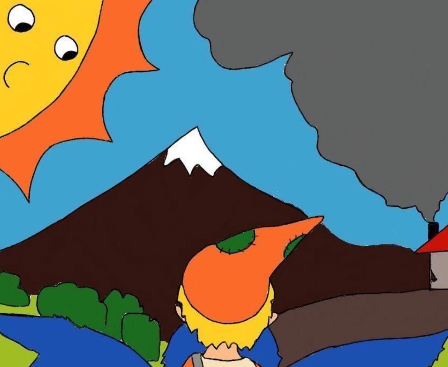
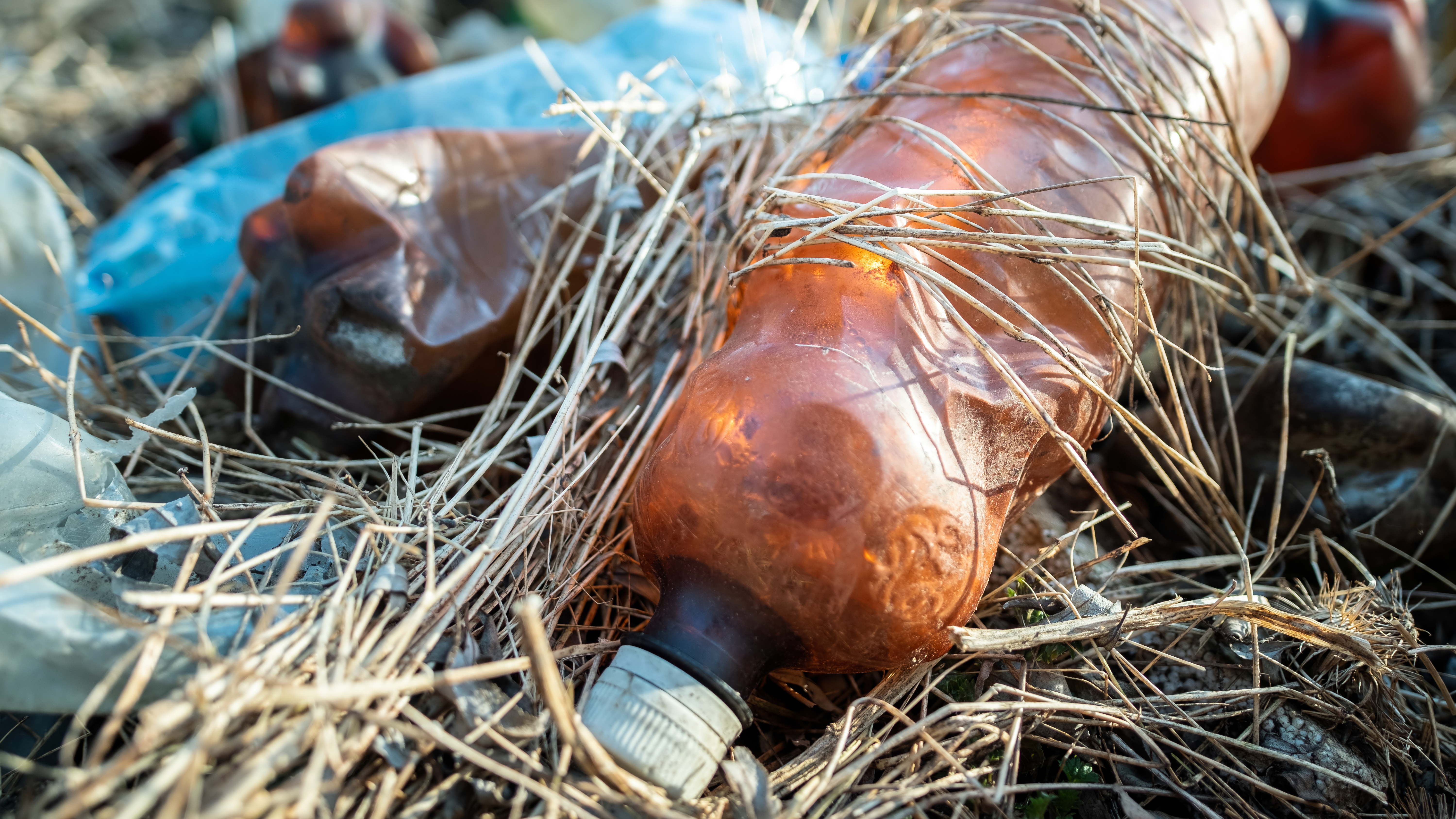
La tematica descrive le caratteristiche generali della biodiversità, mettendo in luce le cause di perdita della biodiversità tra cui l'inquinamento da plastica. 

Da un'idea e proposta di Raffaella Madaro (Scienze della Formazione Primaria - Università del Salento).

CLICCA SUL TITOLO PER VISUALIZZARE I CONTENUTI.


SCUOLA PRIMARIA

La tematica approfondisce l'impatto da plastiche sugli ecosistemi marini.

I contenuti sono a cura di Alessandra Torsello (Scienze della Formazione Primaria - Università del Salento).

CLICCA SUL TITOLO PER VISUALIZZARE I CONTENUTI.

SCUOLA SECONDARIA

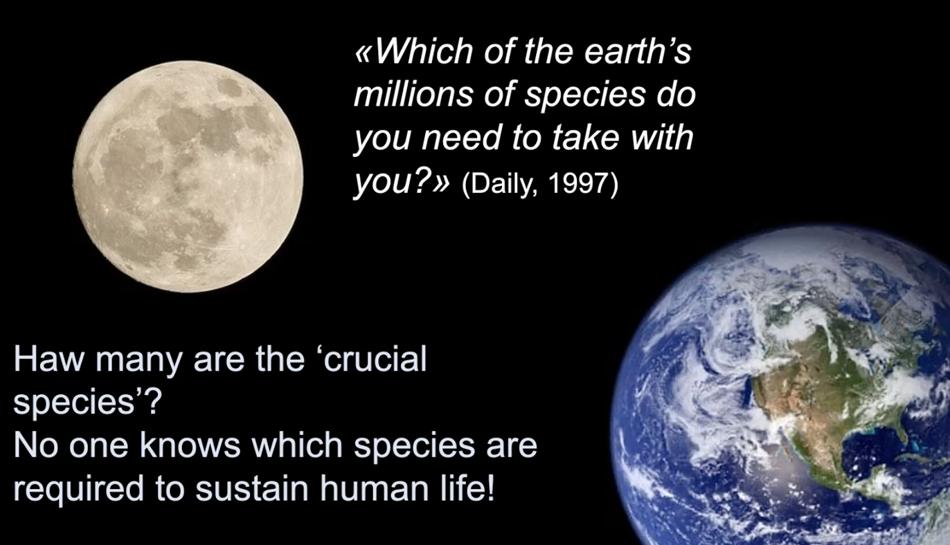
Nella tematica viene definito e approfondito il concetto di biodiversità e di specie. Si pone, inoltre, attenzione alla relazione tra biodiversità e funzionamento degli ecosistemi. CLICCA SUL TITOLO PER VISUALIZZARE I CONTENUTI.

SCUOLA SECONDARIA

La tematica è un approfondimento del concetto di biodiversità in relazione ai benefici ecologici, culturali ed estetici; ci si sofferma, successivamente, su alcuni dei più rilevanti fattori di minaccia alla biodiversità. CLICCA SUL TITOLO PER VISUALIZZARE I CONTENUTI.

La tematica approfondisce il concetto di 'Beni e servizi ecosistemici' in termini di processi e funzioni degli ecosistemi che permetto la persistenza della vita sul pianeta Terra. Il mantenimento della biodiversità , ad esempio, un elemento essenziale per la conservazione degli ecosistemi e dei beni e servizi da essi forniti.

Il VIDEO è stato prodotto nell'ambito del Progetto CUIS - GIovani AMbasciatori di SOStenibilità (GI.AM.SOS.) finanziato dal Consorzio Universitario Interprovinciale Salentino. CLICCA SUL TITOLO PER VISUALIZZARE I CONTENUTI.

SCUOLA SECONDARIA

La tematica approfondisce il concetto della biodiversità in relazione ai cambiamenti climatici; in particolare si sofferma sul concetto di estinzione e perdita di specie in relazione ai cambiamenti climatici.  

Il VIDEO è stato prodotto nell'ambito del Progetto CUIS - GIovani AMbasciatori di SOStenibilità (GI.AM.SOS.) finanziato dal Consorzio Universitario Interprovinciale Salentino. CLICCA SUL TITOLO PER VISUALIZZARE I CONTENUTI.


SCUOLA SECONDARIA

Nella tematica viene affrontata la importante questione dei cambiamenti climatici con uno sguardo anche al passato. Ci si sofferma, successivamente, sull'atmosfera e sue caratteristiche con particolare riferimento all'anidride carbonica.  Infine, si riporta un breve cenno all'Intergovernmental Panel on Climate Change l'organizzazione intergovernativa che si occupa di studiare il riscaldamento globale. CLICCA SUL TITOLO PER VISUALIZZARE I CONTENUTI.


SCUOLA SECONDARIA

Nella tematica viene approfondita la gestione e conservazione delle risorse naturali e, in particolare, della biodiversità. Si fa cenno alla Biologia della conservazione, alle specie minacciate e a rischio di estinzione; vengono descritte brevemente anche alcune pratiche di gestione e conservazione delle risorse naturali. CLICCA SUL TITOLO PER VISUALIZZARE I CONTENUTI.

SCUOLA SECONDARIA

La tematica è dedicata  e ai beni e servizi ecosistemici che offrono alle nostre società. Ci si sofferma sull'Obiettivo 14 dell'Agenda 2030 "La vita sott'acqua" e si fa un approfondimento della Direttiva sulla strategia per l’ambiente marino per la la tutela e la protezione del Mar Mediterraneo. CLICCA SUL TITOLO PER VISUALIZZARE I CONTENUTI.

SCUOLA PRIMARIA

La tematica descrive e approfondisce un particolare tipo di ecosistema rappresentato dalle spiagge sabbiose.  Molte specie animali vivono in questo habitat e si muovono anche a seconda della marea e dell'azione delle onde. I contenuti sono tratti da un lavoro scientifico di TÖPKE, Katrien e Kotwicki, Lech (2023) disponibile su Coastal Wiki. CLICCA SUL TITOLO PER VISUALIZZARE I CONTENUTI.

SCUOLA SECONDARIA DI PRIMO GRADO

La tematica descrive e approfondisce un particolare tipo di ecosistema rappresentato dalle spiagge sabbiose.  Molte specie animali vivono in questo habitat e si muovono anche a seconda della marea e dell'azione delle onde. I contenuti sono tratti da un lavoro scientifico di TÖPKE, Katrien e Kotwicki, Lech (2023) disponibile su Coastal Wiki. CLICCA SUL TITOLO PER VISUALIZZARE I CONTENUTI.

SCUOLA SECONDARIA DI SECONDO GRADO

La tematica descrive e approfondisce un particolare tipo di ecosistema rappresentato dalle spiagge sabbiose.  Molte specie animali vivono in questo habitat e si muovono anche a seconda della marea e dell'azione delle onde. I contenuti sono tratti da un lavoro scientifico di TÖPKE, Katrien e Kotwicki, Lech (2023) disponibile su Coastal Wiki. CLICCA SUL TITOLO PER VISUALIZZARE I CONTENUTI.

SCUOLA SECONDARIA

Nella tematica si approfondisce la questione ambientale del marine litter: minaccia per la salute di mari ed oceani. Ci si sofferma su una delle componenti maggiori del marine litter ovvero plastiche e microplastiche che impattano il mare con implicazioni ecologiche negative su comunità, processi e struttura degli ecosistemi marini. CLICCA SUL TITOLO PER VISUALIZZARE I CONTENUTI.

SCUOLA PRIMARIA

La tematica approfondisce le problematiche ambientali legate a varie forme di inquinamento. I contenuti sono presentati in forma di unità didattica; per lo studio della parte teorica utile agli allenamenti e gara finale cerca e studia le slide con il 'pallino giallo'

Da un'idea e proposta di Roberta Lanzillotti (Scienze della Formazione Primaria - Università del Salento).

CLICCA SUL TITOLO PER VISUALIZZARE I CONTENUTI.


SCUOLA SECONDARIA

La tematica costituisce un  momento di approfondimento sullo sviluppo sostenibile e sostenibilità anche in relazione a servizi e funzioni ecosistemiche. Si fa, inoltre, cenno all'impronta ecologica e all'assioma Malthusiano sulla crescita delle popolazioni. CLICCA SUL TITOLO PER VISUALIZZARE I CONTENUTI.

SCUOLA SECONDARIA

La tematica è un approfondimento sulla Direttiva europea sulla Strategia Marina. La Direttiva Quadro sulla Strategia per l’Ambiente Marino (MSFD-2008/56/CE) rappresenta un importante strumento per la  salvaguardia dell’ecosistema marino per il raggiungimento del Buono Stato Ambientale e dei suoi descrittori (Good Environmental Status – GES). CLICCA SUL TITOLO PER VISUALIZZARE I CONTENUTI.

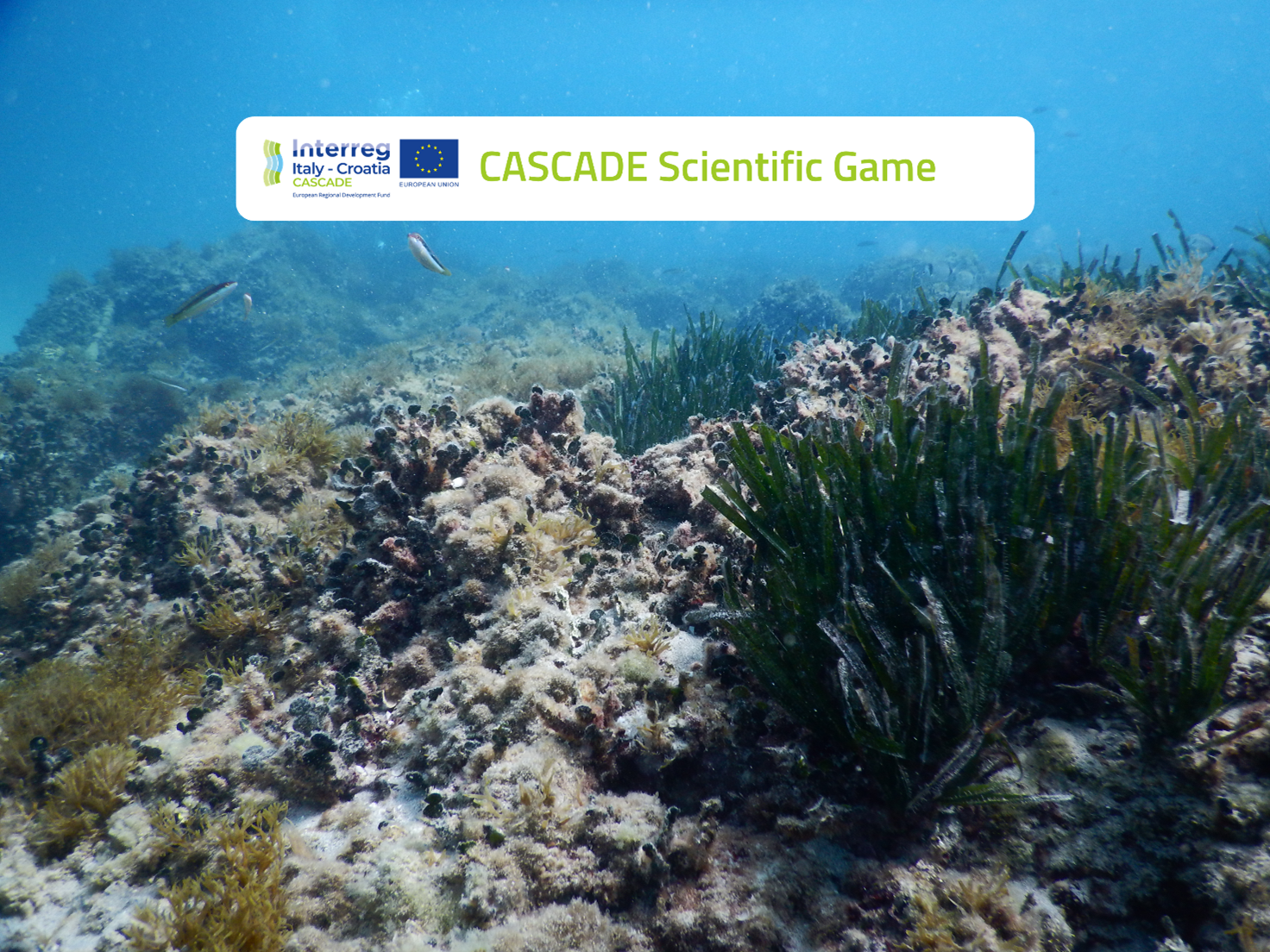
Test the skills of your students in the field of Mediterranean marine ecosystem with ‘CASCADE Scientific Game’, an online game for students (age between 10 and 14 years) coming from Croatian and Italian schools, developed within the European research project CASCADE.

CASCADE Scientific Game will allow your students to study and apply ecological topics applied to the monitoring of ecological and environmental status of the ecosystems in an entertaining way through a serious game.

The CASCADE project is financed by Cooperation Program Interreg V-A Italia-Croazia 2014/2020 and aims to the protection and the recovery of biodiversity in the marine and coastal environments both in Italy and Croatia. More information about the CASCADE project is available on the website:  https://www.italy-croatia.eu/web/cascade.


Test the skills of your students in the field of Mediterranean marine ecosystem with ‘CASCADE Scientific Game’, an online game for students (age between 10 and 14 years) coming from Croatian and Italian schools, developed within the European research project CASCADE.

The CASCADE project is financed by Cooperation Program Interreg V-A Italia-Croazia 2014/2020 and aims to the protection and the recovery of biodiversity in the marine and coastal environments both in Italy and Croatia. More information about the CASCADE project is available on the website:  https://www.italy-croatia.eu/web/cascade.


This is a study-lab course in which topics are presented by short texts, practical sessions are introduced and explained and assignments are completed  by students. It is made of seven units: three theoretical units, each followed by a practical unit. In order to exemplify the use of the proposed  methods and models, a final unit is devoted to a case study on benthic macroinvertebrates in the Po River delta, providing the data, the R code and some interpretative comments. Practical units are based on the use of the R software, with purpose-specific libraries and functions. Quizzes are given following every unit, together with practical assignments to be addressed with the R software.

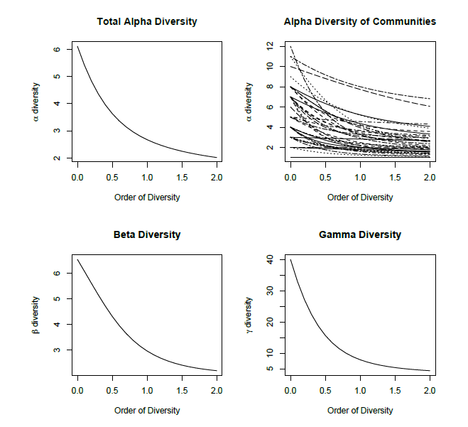
After this introductory unit, the first practical unit will be devoted to briefly introduce the R software. Biodiversity partitioning will be the subject of the next two units, where methodology and software for γ , α and β diversity profiling will be described and applied to a sample data set. The theory behind mixed effects modeling will be sketched and applied to investigate the variation of biodiversity measures. The last practical unit exemplifies the use of the R implementation of mixed effects modeling routines with data from ecological surveys. Finally we will summarize and exemplify the proposed methods with the complete analysis of a case study.

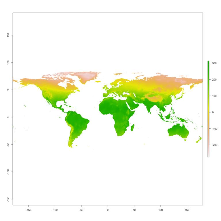
This tutorial is a practial guide for Species Distribution Modelling (SDM). The tutorial will use the "dismo" package of "R" and will show the guidelines on how to model species distribution starting from occorency data (got from internet, or users ones) and a set of bioclimatic variables.
After a brief introduction of SDM, with some examples of biological application, this tutorial will show a guide (split in 5 main sections or modules) that leads the user step by step how to obtain a distribution map. Afterwards there will be some suggestions on how to deal with common issues and statistical errors that may affect the analysis and to evaluate properly the output. 

The Incidence Function Model describes presence/absence of a species in the patches of a highly fragmented landscape at discrete time intervals (years) as the result of colonization and extinction processes. The IFM ignores local dynamics sin ce they are faster than metapopulation dynamics in producing changes in the size of local populations (Hanski, 1994).
In the IFM, the process of occupancy of patch i is described by a first-order Markov chain with two states, {O, i} (empty and occupied, respectively). The extinction probability of a population in a patch is constant in time and is assumed to decrease with increasing patch area, and the colonization probability is assumed to be a sigmoidal function increasing with connectivity. The IFM is the best known spatially explicit metapopulation model in literature.
This model has been applied to conservation problems and to area-wide pest-management.
First, a short introduction to discrete time, finite space, homogeneous Markov chain will be provided, aiming at understanding the basic mathematics of the IFM. Then, the IFM model will be discussed by deeply considering (a) the role of the parameters and how they affect metapopulation dynamics; (b) variations to the basic model (rescue effect, time-dependent colonization probabilities). Finally, we will move on to the use of the free software R to deal with simulation and parameter estimation.

 
Background
 
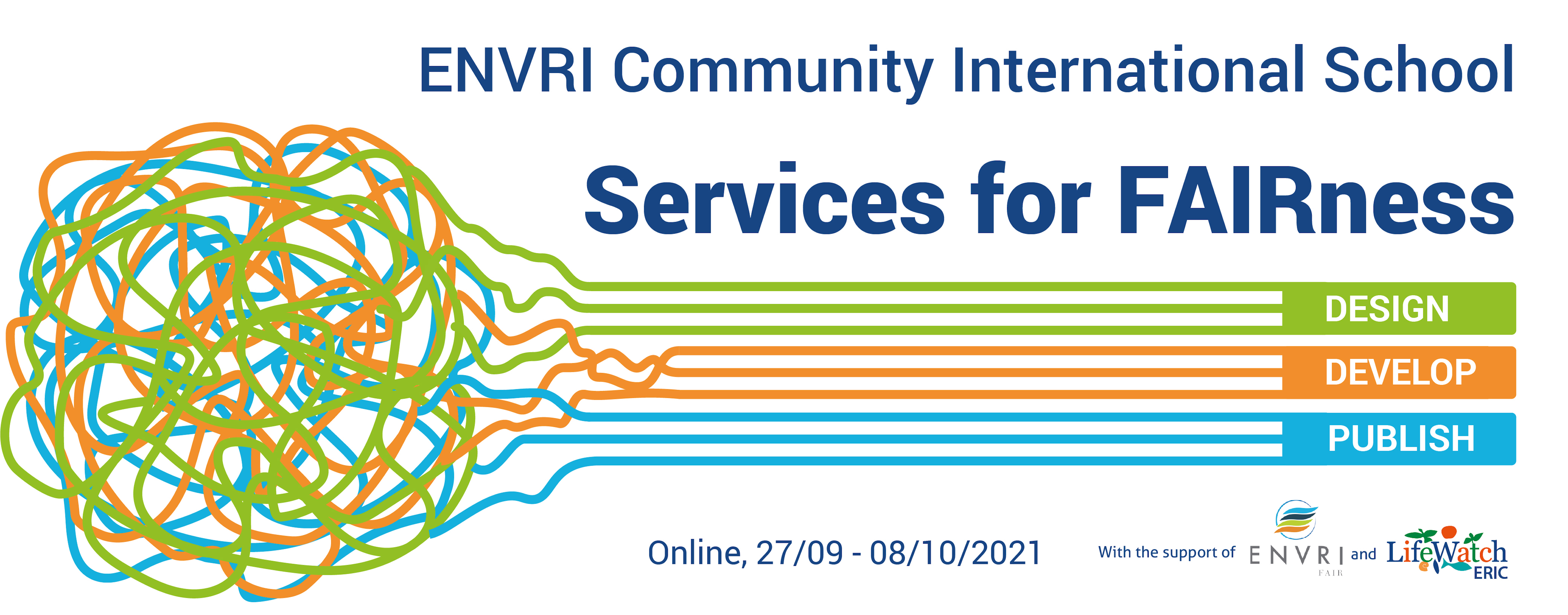
This fourth edition of the ENVRI FAIR School represents another unmissable opportunity to learn about FAIRness in the framework of Research Infrastructures. After dealing with Data FAIRness and Data Management during previous editions, this edition of the school focuses on Services for FAIRness, from their design to their development and publication.
 
Learning Objectives
It is expected that, by the end of the course, participants will be better positioned to:
1. Examine approaches and methodologies to webservices for data
2. Map tools and their related characteristics
3. Illustrate potential security threats and related solutions
4. Design (step by step) data services 
5. Develop and publish a data service
 
 
Contents and Structure
Training Sessions:
1. Overview on the ENVRI project and goals
2. Design webservices for data
3. Develop webservices for data
4. Publish and secure data services by means of APIs
5. Best practices and lessons learned (experts panel)
 
Target Audience
The resource is aimed at ENVRI data centres staff, RIs representatives, IT experts, researchers and PhD candidates and individuals interested in developing webservices.

The Master in e-Biodiversity and Ecosystem Sciences (EBES) degree is offered by the University of Salento and LifeWatch ERIC, to prepare the next generation of professionals to apply data tools and concepts to ecology, and develop innovative, interdisciplinary solutions to environmental issues.

Background

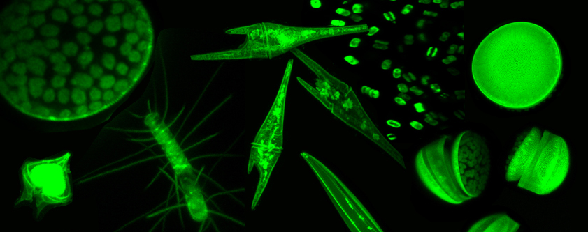
Phytoplankton plays an important role in aquatic ecosystems as it accounts for most of global primary production and affects the biogeochemical processes, trophic dynamics and biodiversity architecture. LifeWatch Italy, one of the ERIC's national nodes, designed the Phytoplankton Virtual Research Environment (Phyto VRE) to support researches on phytoplankton guilds and their relative structure, organization and ecological function. The Phyto VRE services, in fact, enable researchers to analyse and process phytoplankton data at a level of resolution from individual cells to whole guilds. In particular, the Atlas of Phytoplankton and the Atlas of Shapes provide harmonised data on taxonomy and morphological and demographic traits.


Learning Objectives

It is expected that, with this tutorial, participants will be better positioned to:

1. Illustrate how to access and navigate the two Atlas of the Phyto VRE

2. Discuss the main characteristics of a phytoplankton species

3. Examine the possible shapes of a phytoplankton species

4. Present the computational models for surface area and volume of phytoplankton species


Contents and Structure

Training Blocks:

1. Introduction to Phytoplankton Species and Shapes

2. Atlas of Phytoplankton

3. Atlas of Shapes

4. Presentation of Computational Model service

5. Overview of LifeWatch Italy Phytoplankton VRE services


Target Audience

The resource is aimed at marine, transitional and freshwater scientists and students involved in phytoplankton identification, classification, morphological traits association and measurement.

Authors: Colangelo, Oggioni, Tagliolato 

Coordinator: Colangelo 


This workshop showcases the results of five research endeavours into Non-indigenous and Invasive Species conducted in the midst of the LifeWatch ERIC Internal Joint Initiative. It also presents the Tesseract workflows created by the ICT-Core to accommodate the analytical processes required for these researches.


The hands-on session navigates the LifeWatch ERIC Metadata Catalogue and LifeWatch ERIC Tesseract (workflows and VREs).